>>> Rarotonga Mountains >>> page 3
to page 1, 2, 3, 4, 5, 6, 7
>>> Mount Ikurangi as seen from Upper Tupapa / photo © cookislands.com >>> Mount Ikurangi with Papaya plantation / photo © cookislands.com >>> Te Atukura mountain seen from Matavera / photo © cookislands.com >>> Looking down a valley towards the ocean / photo © cookislands.com >>> View from hospital hill terrace to Arorangi / photo © cookislands.com
Other possible hiking and trekking tracks to explore the Rarotonga mountains :

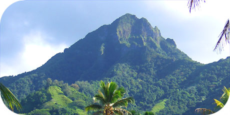
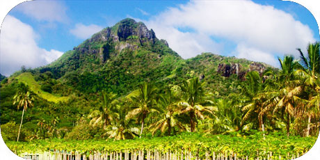
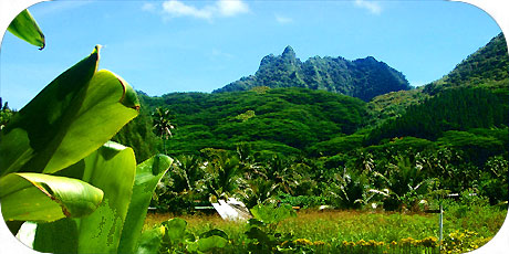
- Raemaru Track* (2 hours, a walk of 1,500 metres to a summit of 360 metres)
- Taputarangi (Tereora Hill) Track* (2 hours, a walk of 700 metres up to 270 m.)
- Maungatea Bluff Track* (3 hours, a distance of 1,500 metres upt to 350 m.)
- Te Ko´u Track* (5 hours, a walk of 2,100 metres up to a summit of 588 metres)
- Ikurangi Track* (3.5 hours, a walk of 2,100 metres up to a summit of 485 m.)
- Te Manga Track* (5 hours, a walk of 3,200 metres up to a summit of 653 m.)

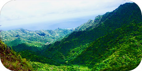
For those who wish to explore Rarotonga´s beautiful mountains we highly
recommend the book "Rarotonga´s Mountain Tracks and Plants*" by Gerald
McCormack and Judith Künzlé. - ISBN No 982 308 005 4 - latest Edition 1995
Published by the Cook Islands National Heritage Project.

>>> Mount Ikurangi as seen from Upper Tupapa / photo © cookislands.com
>>> Mount Ikurangi with Papaya plantation / photo © cookislands.com
>>> ??? mountain seen from Matavera / photo © cookislands.com
>>> Looking down a valley towards the ocean / photo © cookislands.com
>>> View from hospital hill terrace to Arorangi / photo © cookislands.com
>>> next page